
3D Scanning
& Scan-to-BIM

Capture existing buildings with high level accuracy and transform spatial data into 3D models for renovation planning, facility documentation, and architectural coordination.
Art Curation for Built Spaces

NAWI curates artwork for architectural environments and uses spatial visualization to show exactly how art will appear in a space before installation.

A Clear Process From Documentation to Design


Scan the Space
Build Revit Model
Plan With Confidence
Capture accurate real world conditions using 3D laser scanning.
Convert point cloud into intelligent 3D BIM model in Revit
Accurate spatial information supports renovation planning, coordination, and design decisions.


Scanning Precision.
Design Perspective.
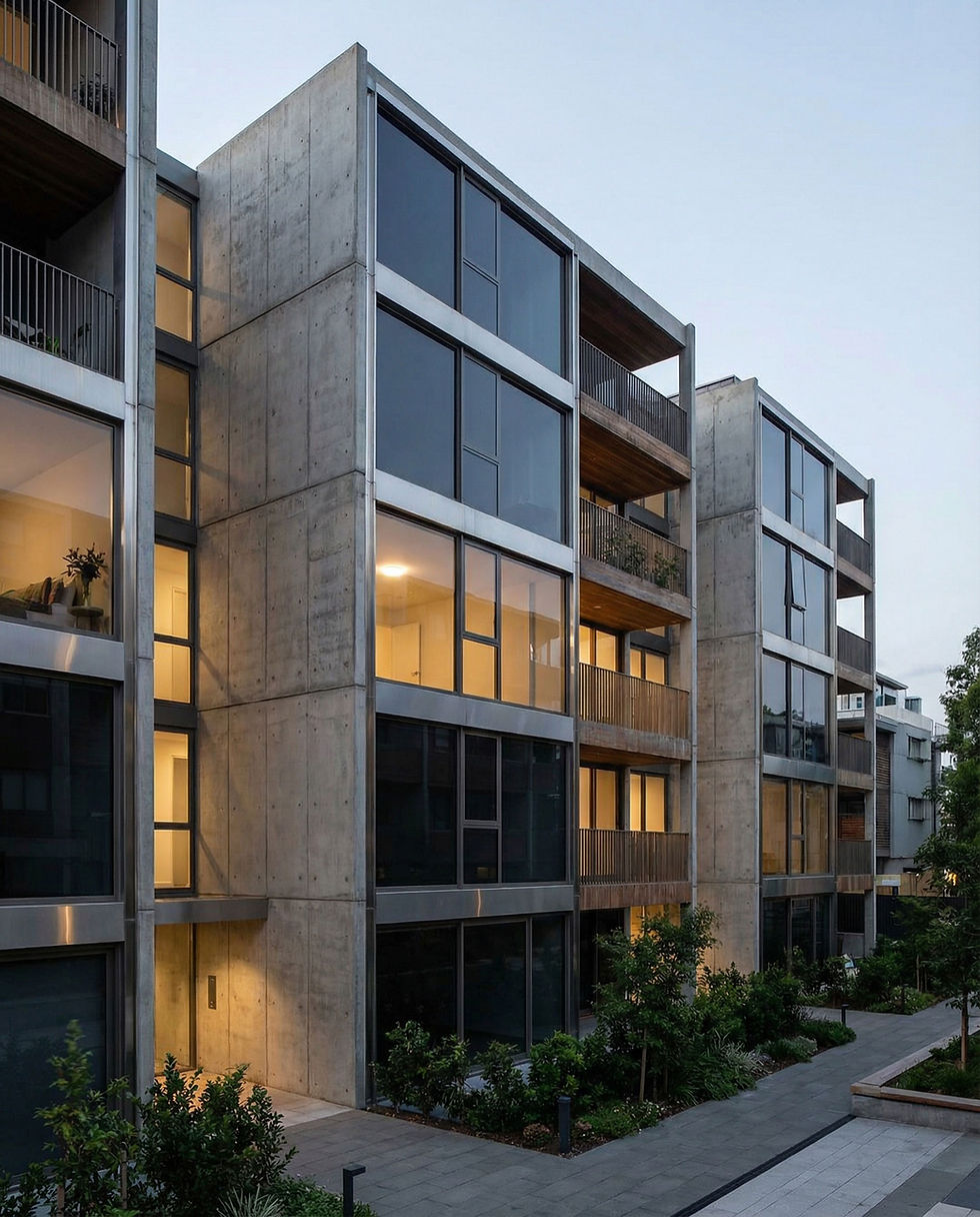
NAWI brings together capability in scanning and design to support complex projects in the built environment.
With decades of experience working across infrastructure, buildings, and spatial design, NAWI provides scanning services and interdisciplinary thinking needed for projects where precision matters.